GEO5
GEO5 Stratigraphy
The GEO5 Stratigraphy program is designed to process results from site investigation (boreholes, wells, CPTs, DPTs, SPTs, DMTs ...), generate 2D or 3D geological models and export cross sections and geological profiles into other GEO5 programs.The add-on modules Logs and Cross Sections for professional site investigation reports are available for this program.
CESAR-GEO5 Links
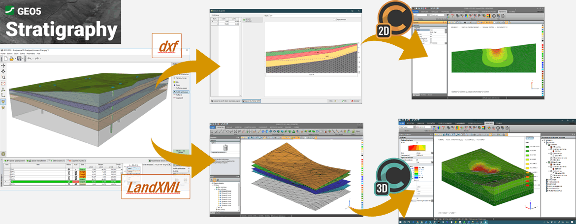
With the growing demand of data exchanges between CAD programs and data management (such as the BIM process), it is important to offer links between CESAR and GEO5 Stratigraphy.A CESAR user can import DXF files (2D and 3D) or LandXML (3D) generated in GEO5 Stratigraphy or other software so that the various soils layers are generated with accurate position and shape.


